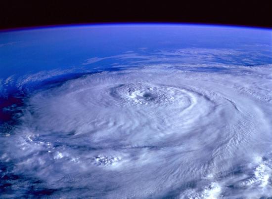
We are now over a month into hurricane season, and we have already experienced several named storms. This year, Tropical Storm Arlene formed even before the season began, all the way back on April 19th. With all this activity, it’s easy to see that keeping track of upcoming storms and Atlantic activity will be very important. With that in mind, it’s important to know that this year there is a new warning to keep an eye out for; Potential Tropical Cyclone.
As with most new things, there are some questions that inevitably come up: What does this new designation mean? How does it affect our weather forecast? How should I respond when this advisory is issued? No need to worry. We here at WDRC have done the research and have the answers you need.
What does this new designation mean?
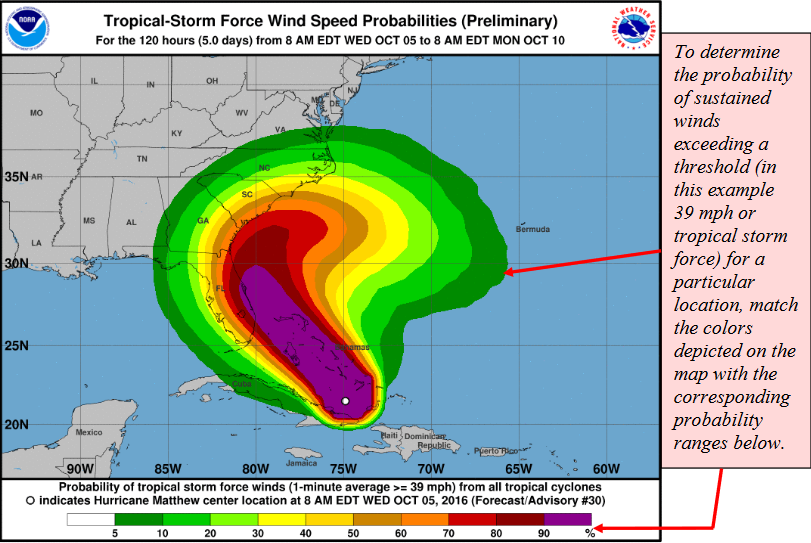
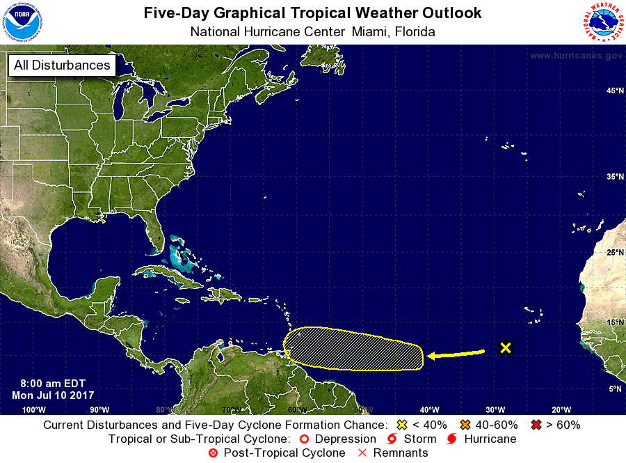
A Potential Tropical Cyclone is a disturbance that has the potential to bring tropical storm or hurricane conditions to land within 48 hours. In the past, National Weather Service (NWS) only had permission to issue a watch or warning once a storm was ‘named’, or reached tropical depression status with sustained winds of 38mph. Now with this designation, NWS can release all their forecasting tools before a storm is named to better prepare residents of these landmasses for the upcoming weather. These tools include storm surge charts, forecast cones, and time of arrival guides. These warnings will give homeowners the time needed to properly safeguard their family and property.
How does it affect our weather forecast?
These Potential Tropical Cyclone Watches and Warnings are issued in the same way as Tropical Storm and Hurricane forecasts. These watches and warnings begin 48 hours before the weather disturbance is projected to affect a landmass. NWS prepares advisories and updates four times a day (5am, 11am, 5pm, and 11pm EST) that will update wind speeds, location, time of arrival, and other useful information. These updates will include text and graphical resources that can be accessed through the NWS Website or typically found in your local news media’s offerings.
How should I respond when this advisory is issued?
The Potential Tropical Cyclone Warning was created to allow for sooner preparation that will help prevent damage or disaster when these storms arrive. The best way to keep your family and home safe all hurricane season long is to have a hurricane plan in place well before a disaster is poised to strike. Our Hurricane Guide outlines what steps to take in various stages of hurricane season. In the event of a Potential Tropical Cyclone, it is best to respond as one would to a Tropical Storm Watch/Warning because this warning means it is highly likely that this storm will be severe when it makes landfall. These steps are included in the linked guide and include ensuring you are stocked on emergency supplies, knowing where your emergency shelter is and how to get there, and having important documents and information ready and on hand.
Hurricane season can be a scary time, but having a plan and being informed on what is going on around you is the best way to prevent loss or disaster. Another way to protect your home and family is to upgrade to impact-resistant windows and doors. Our products are designed to make hurricane season safer and easier, so Contact Us today to request more information and a complimentary estimate.
Sources


